Key science findings:
- A bespoke set up computer model became a useful tool for Thames 21 for local community engagement with river and water management.
- Set up for the River Lea and its tributary Salmons Brook the INCA model incorporated data collected by local volunteers taking part in citizen science monitoring.
- The bespoke model of Salmons Brook connected local river restoration interventions and citizen science monitoring to scientific analysis of water quality under different flow scenarios
Introduction
Human Geography research in the MaRIUS project has addressed the ways in which water and river governance in modern, complex societies is geographically distributed and involves a multitude of actors relating to different regulatory and policy frameworks. Drawing on transdisciplinary research that treats vernacular environmental knowledge as an undervalued resource in environmental science and public policy the Community Modelling experiment with Thames 21 in East London was a proof of concept activity aiming to:
1) develop the Environmental Competency Groups methodology into an application that will enable local communities to make use of scientific tools;
2) create a bespoke computer model that the local rivers trust, Thames 21, and its volunteering residents found useful for increasing their understanding of the processes impacting on water quality in the River Lea in East London.
Research methods
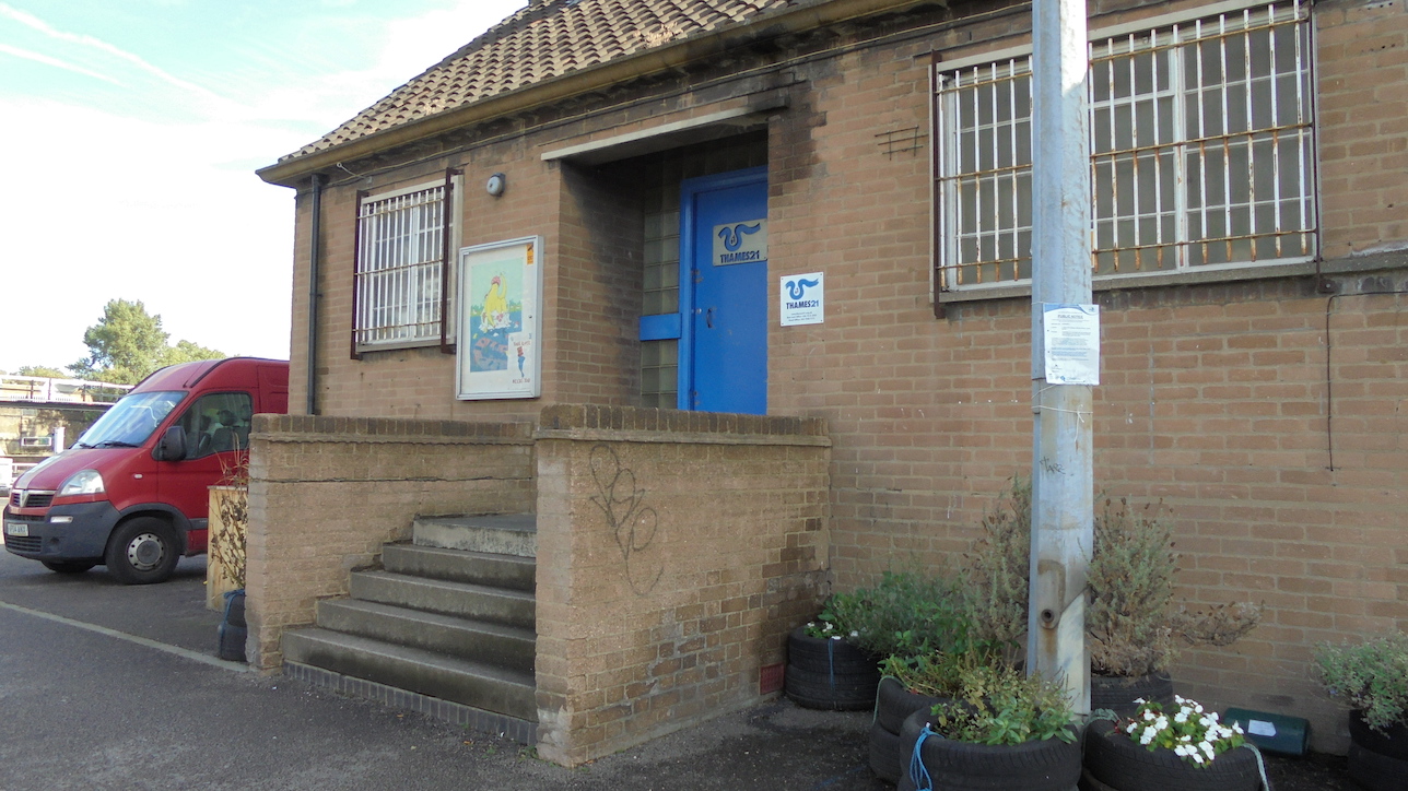
The Community Modelling approach originates in the realisation that the Environmental Competency Groups methodology for bringing scientific and vernacular knowledge together is too resource demanding to be used more widely by local communities. Informed by previous ECGs addressing flood risk management and the Kennet ECG focussing water management Community Modelling was designed to make locally informed computer modelling usable by environmental NGOs and the residents that they engage with rivers. The human geography local case study undertaken within the MaRIUS project provided initial understanding of the matters of concern engaging the local community by the River Lea and made contact with the local rivers trust Thames 21. The Community Modelling activity comprised three sessions with two MaRIUS project team members - a social scientist and a natural scientist.
Result 1
A bespoke set up computer model became a useful tool for Thames 21 for local community engagement with river and water management.
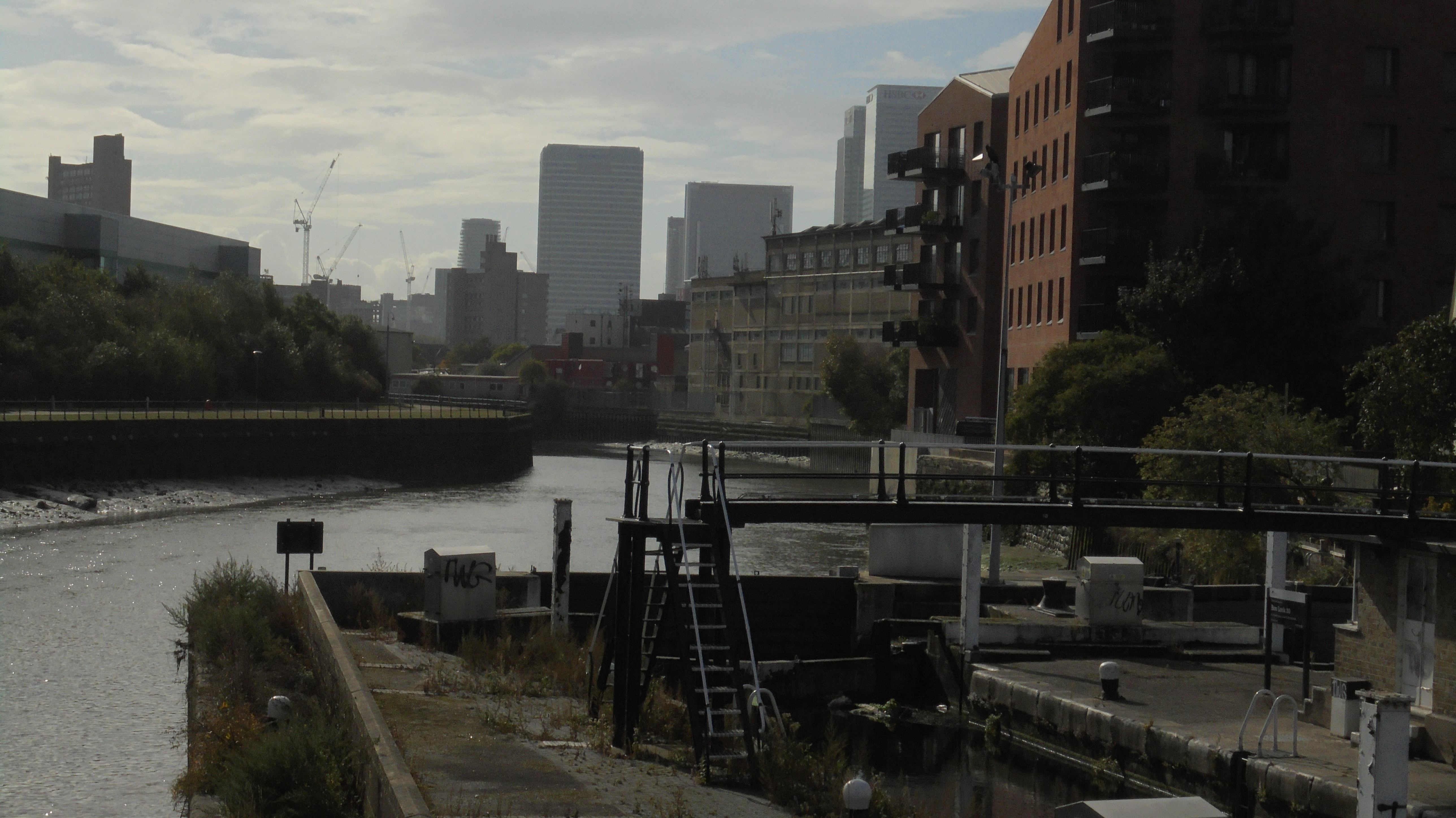
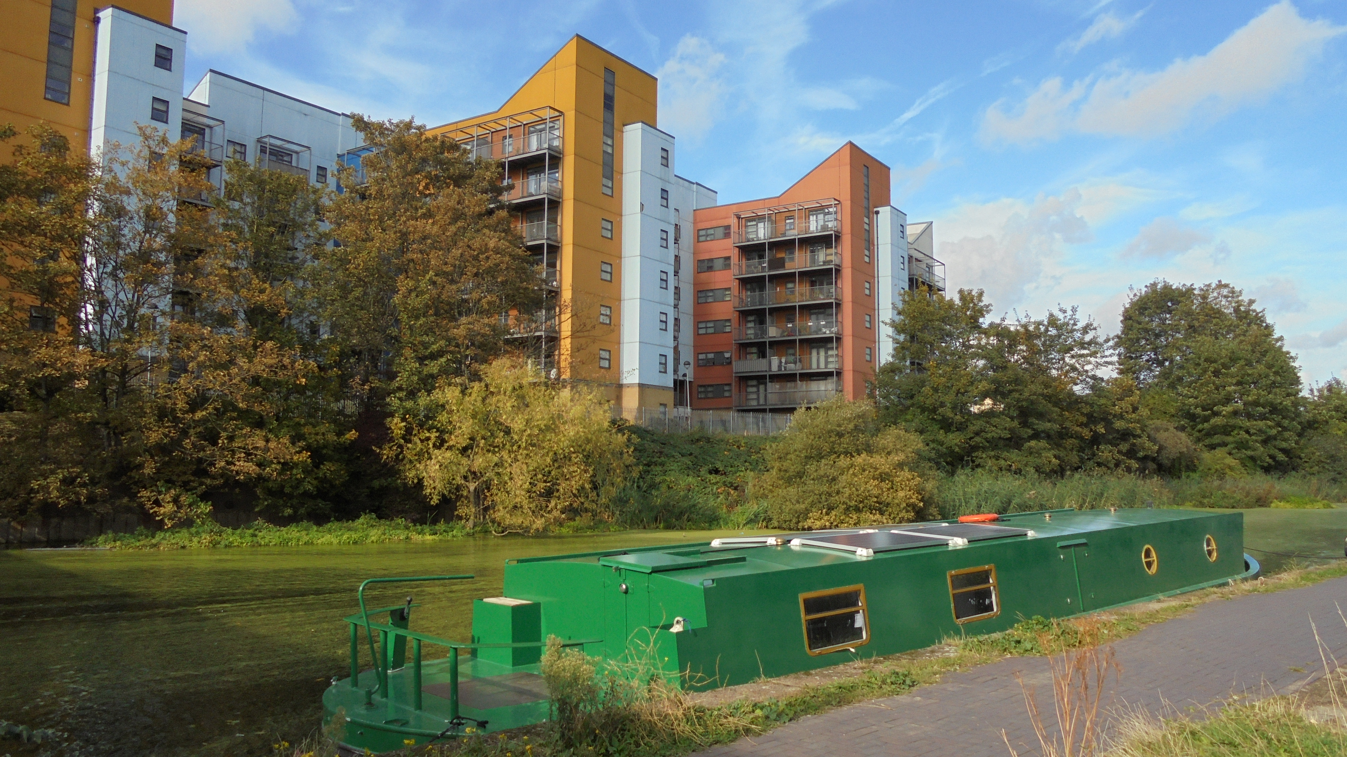
The MaRIUS human geography case study in East London, focussing on the Lea (an important component in the water supply system for London) showed that water quality was a major concern for local communities and the local rivers trust Thames 21.
The INCA model used in MaRIUS work stream B was identified as an approach that could represent processes on a scale of interest to the local community. In the first Community Modelling session the INCA model was presented and the three Thames 21 officers and the MaRIUS project team agreed on setting up the model for Salmons Brook.
Result 2
Set up for the River Lea and its tributary Salmons Brook the INCA model incorporated data collected by local volunteers taking part in citizen science monitoring.
Having established that computer modelling could be of value to Thames 21 in their work with improving water quality through physical interventions and monitoring, the INCA model was set up for Salmons Brook. Data collected by Thames 21 volunteers for monitoring the functions of newly installed reedbeds and wetlands were incorporated into the model. In the second session local volunteers were invited to comment on the usefulness of the model for increasing their understanding of environmental processes. The Thames 21 officers and local volunteers were able to understand and manipulate the model.
Result 3
The bespoke model of Salmons Brook connected local river restoration interventions and citizen science monitoring to scientific analysis of water quality under different flow scenarios.
The INCA model enabled Thames 21 officers and volunteers to contextualise their activities focussing on reducing nitrogen and phosphate levels in Salmons Brook by river restoration interventions. In the third Community Modelling session the MaRIUS project team made video tutorials together with Thames 21 officers and volunteers in order to enable future local use of the model. The bespoke model was handed over to them. Using the model with monitoring data collected locally the local community now has the capacity to consider the impacts of interventions like reed beds and wetlands in relation to water quantity and other factors.